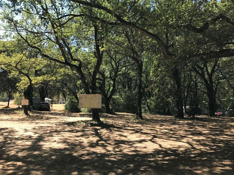
Camping Le Bois de Siburg
In Céreste, country campsite in wooded space at the foot of the Luberon. Stay in a quiet & friendly natural area. Ideal step for hiking and cycling in Provence.


Close to the routes 'Autour du Luberon' and 'La Méditérranée à vélo', the campsite is located in the countryside at the foot of the Luberon and 4 km from the village of Céreste.
After crossing the roads and paths of Haute Provence: you can fully enjoy this natural area in the shade of oaks, all in a quiet and friendly atmosphere.
Also marked 'bike hospital' and member of the Vélo Loisir Provence network, the campsite du Bois de Sibourg will meet your needs of cyclists (repair kit, bicycle parking...)
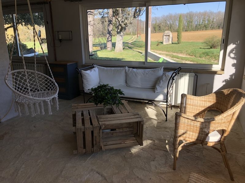
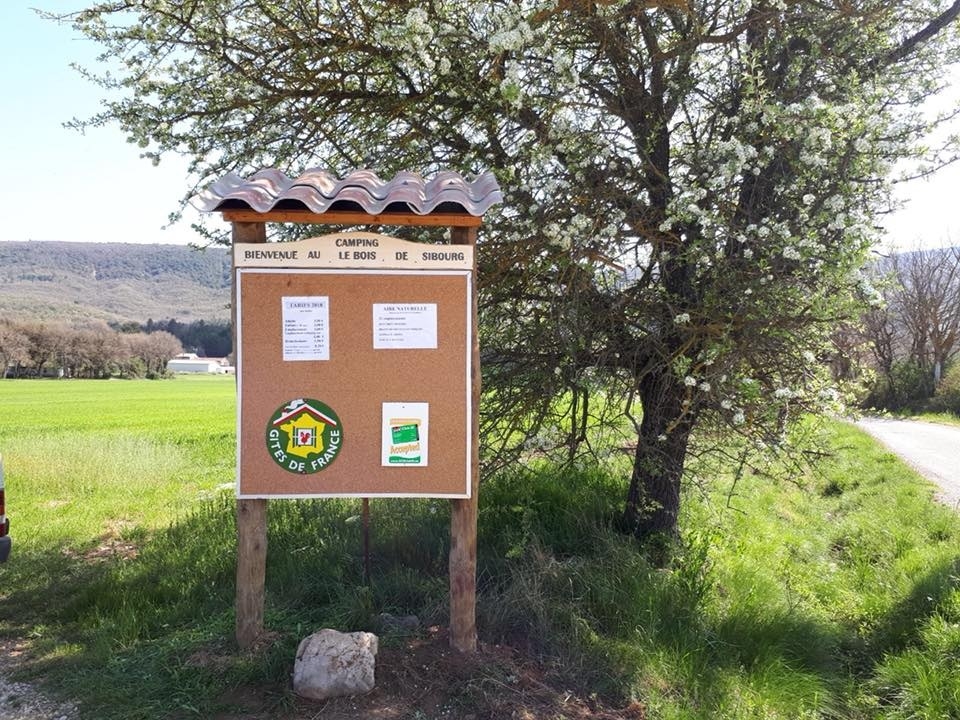
Picture gallery


Itinéraire Gravel n°20 - D'une rive à l'autre du Calavon - EN
As its name suggests, this itinerary will take you through the various massifs surrounding the Calavon, as well as charming little villages between Vaucluse and Alpes de Haute-Provence!
See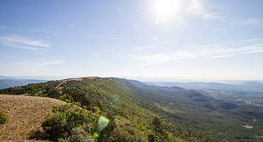
GTV VTT Etape 8 - De Vitrolles-en-Luberon à Lauris
Around the Mourre Nègre, the highest point of the Luberon PNR, this stretch is a treat for those who will have the physics and the technique to appreciate it.
See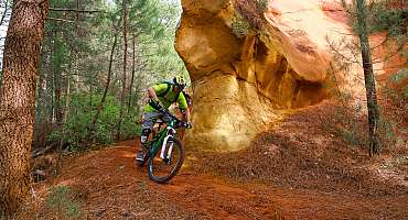
GTV VTT Etape 7 - De Saint-Saturnin-les-Apt à Vitrolles-en-Luberon
This stretch, without great difficulty, is nonetheless a highlight of this Grande Traverée VTT, with passages through the famous ocher massifs of the Luberon.
See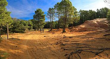
Itinéraire Gravel n°19 - Les Ocres du Luberon - EN
Between thrills and views, saddle up for the "Les Ocres du Luberon" gravel route! It's THE ideal route for gravel enthusiasts!
See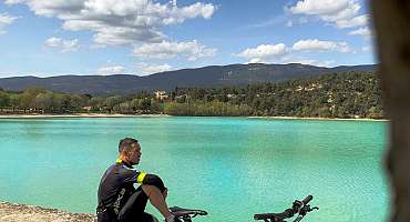
Itinéraire Gravel n°28 - De l'étang de le bonde à Fontjoyeuse - EN
This little loop is perfect for discovering the charming villages of the South Luberon. The little extra: enjoy a relaxing moment by the Etang de la Bonde!
See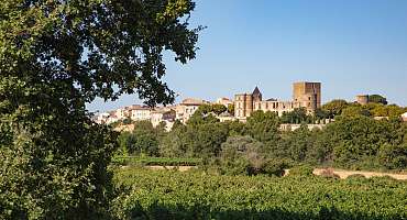
Itinéraire Gravel n°29 - Du pays d'Aigues au grand Luberon - EN
You'll discover the must-see villages of the Sud Luberon by following paths and pedaling through forests. Between ascents and descents, you'll enjoy sublime panoramas!
See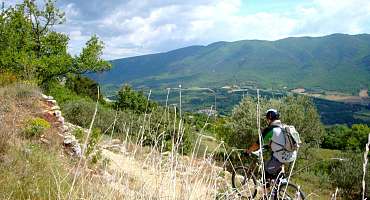
Circuit VTT n°57 - Le plateau de Caseneuve
A fairly rolling mountain bike route linking two beautiful Luberon hilltop villages.
See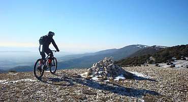
Circuit VTT n°56 - Crêtes du Grand Luberon et Combe Platte
After a beautiful and long climb on the road fortunately covered, the climb on the ridges of the Grand Luberon is quieter and allows you to enjoy several views.
See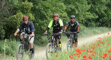
Circuit VTT n°55 - Travers de Pierroux
A small mountain bike loop without technical difficulty, starting from the hillside village of Viens. A sequence of tracks between undergrowth and cultures.
See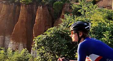
Les Ocres à vélo
Travel this Luberon route by bike through small villages and natural sites where ochre is omnipresent! The calm of the mind and the delight of the eyes.
See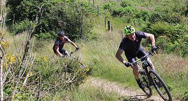
Liaison Grande Traversée de Vaucluse - L'Alpes Provence
This unmarked mountain bike route allows you to join two major mountain bike routes: the Grande Traversée de Vaucluse and the Alpes Provence.
See
Autour du Luberon à vélo
A bike tour for lovers of roaming around the Luberon massif. Signposted in both directions, you travel through the landscapes and typical villages of Provence.
See
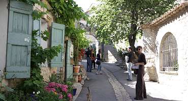
Boucle d'Apt
A country does not exist only by the history of its soil and its nature... But also by the history of its men and of the land worked. Bike ride of the Ochres du Luberon.
See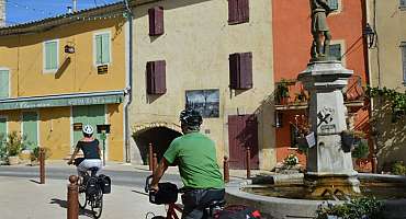
La Méditerranée à vélo en Luberon : Apt - Manosque
This stage of the Mediterranean by bike (EV8) travels the east of the Luberon between Apt and Manosque, from Ochres to the Pays de Forcalquier. A feast for the eyes according to the landscapes!
See
Boucle de Caseneuve
Discovery of the eastern part of the Ochre massif and the secret of its formation. Backdrop: hilltop villages, rural landscapes and mineral mining remains.
See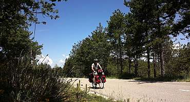
Parcours n°10 - Céreste
A bike ride in the Alps of Haute-Provence combining exceptional natural spaces, crossings of small villages and city discoveries.
See
Parcours n°11 - Céreste
A bike ride around the Caseneuve plateau with a crossing of oak woods, lavender fields and cereal tinted in the poppy red season.
See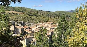
Parcours n°12 - Céreste
Bike ride on the Caseneuve plateau! Possibility of walking in the Oppedette Gorge: a canyon from 100 m to 150 m deep and 2.5 km long.
See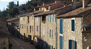
Parcours n°22 - Vitrolles-en-Luberon
Enjoy this bike ride in the Pays d'Aigues, among the AOC vineyards, according to the villages with, as a backdrop, the mountains of Luberon.
See
Parcours n°23 - Vitrolles-en-Luberon
Walk in the heights of the Luberon, at the edge of the ridges. During your holidays, a bike getaway in the Pays d'Aigues to observe Provence with height.
See
Parcours n°24 - Vitrolles-en-Luberon
Head to the Grand Luberon, a bike ride at the Vitrolles-en-Luberon pass to discover the hilly landscapes and the valley of the Pays d'Aigues. A trip to Provence.
See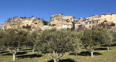
Parcours n°7 - Apt
This bike loop from Apt allows a crossing of villages with secret paths at the hinged between the small and the big Luberon. A treat!
SeeContact & informations
Camping Le Bois de Siburg
Lieu-dit Sibourg
1639 chemin de la Tour d’Embarbe
04280 Céreste
Call us
Write us
Add to favorites
Discover our free and easy to access tool to create your bike route in just a few clicks!
Create your bike route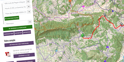


Order your free brochure
Discover our editions of the Luberon south side to prepare your weekend and holidays: guide, accommodation, hiking...
Order