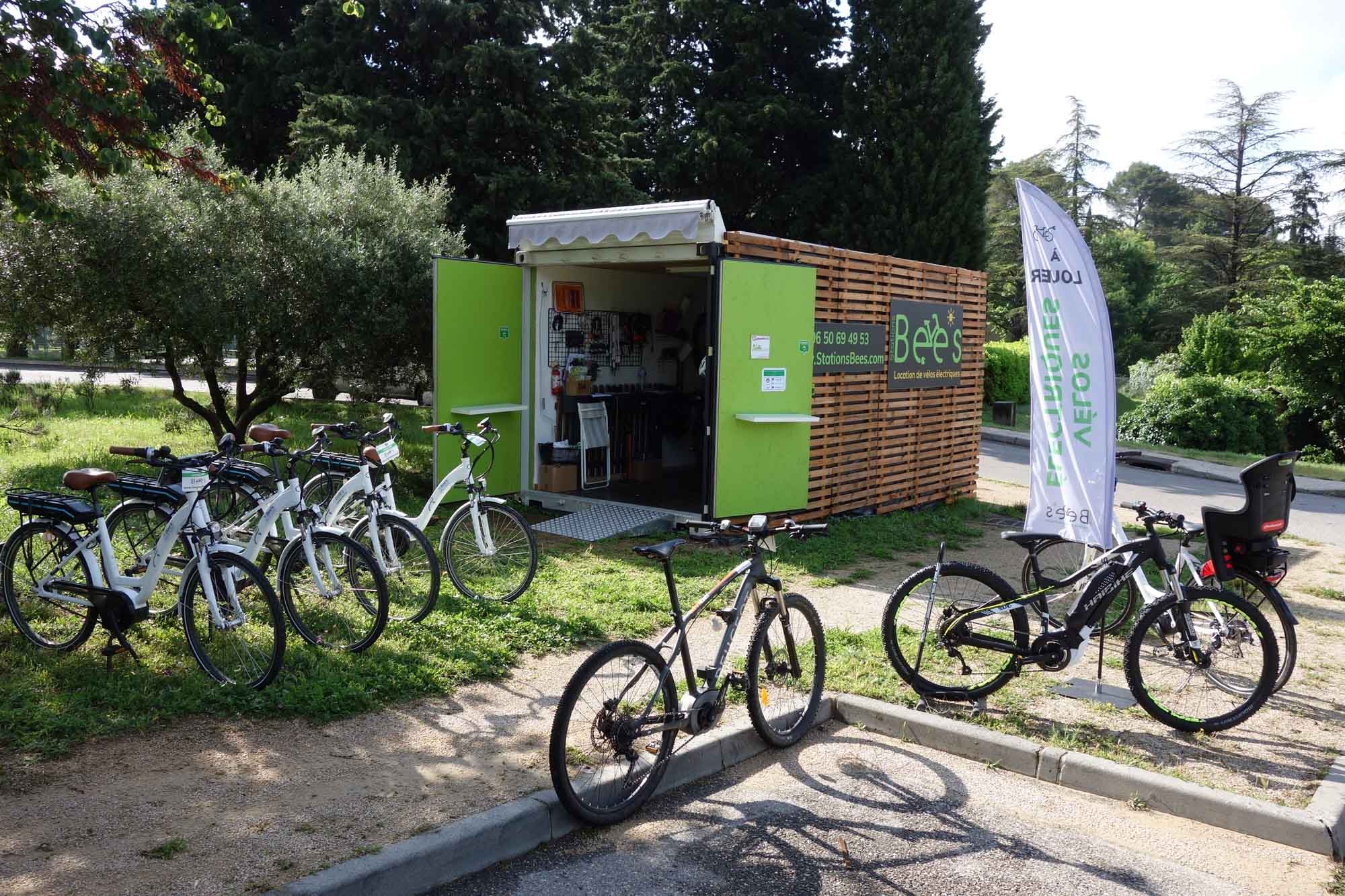
Bee's Stations - Electric Bike Rental in Lourmarin
Discover the South Luberon by renting your electric bicycles. Between vineyards and castles, visit the Pays d'Aigues by bike: AOC Luberon estates, local gastronomy...


Discover South Luberon by renting your electric bikes at Bee's resort in Lourmarin.
Between vineyards, orchards and castles, you can visit its estates and cellars AOC Luberon, taste the local gastronomy, visit the Château de Lourmarin or the Château d'Ansouis!
On your journey, cross the charming little Provencal villages like Vaugines, Cucuron or Ansouis. With family or friends, enjoy the beauty of the Luberon and an electric bike ride in its Regional Natural Park...
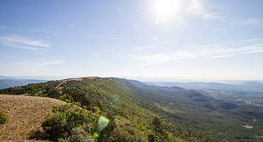
GTV VTT Etape 8 - De Vitrolles-en-Luberon à Lauris
Around the Mourre Nègre, the highest point of the Luberon PNR, this stretch is a treat for those who will have the physics and the technique to appreciate it.
See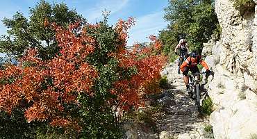
GTV VTT Etape 9 - De Lauris à Mérindol
The route enters the flanked sides of the south face of the Petit Luberon and rises sharply to the majestic panorama of Portalas and the mysterious Cedars Forest.
See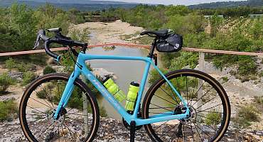
Itinéraire Gravel n°21 - Entre Calavon et Aiguebrun - EN
A mix of greenway and gravel itinerary, this route takes you to some surprising places, from Luberon villages to exceptional panoramas and historic sites, including the Pont Julien!
See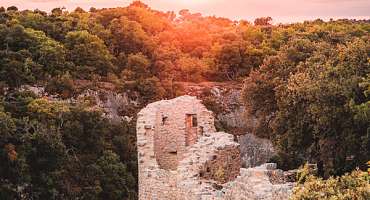
Itinéraire Gravel n°22 - Le plateau des Claparedes - EN
Would you like to enjoy a short gravel ride suitable for everyone? With its 31 km, the "Le plateau de Claparèdes" itinerary is ideal for enjoying the many viewpoints of the Grand Luberon mountain range or discovering its treasures.
See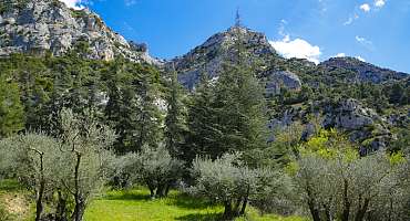
Itinéraire Gravel n°26 - Le petit Luberon côté sud - EN
This rather sporty itinerary takes you through the Petit Luberon on a variety of paths and tracks. You'll pass through the soothing Cedar Forest. Beautiful panoramas await you on this route!
See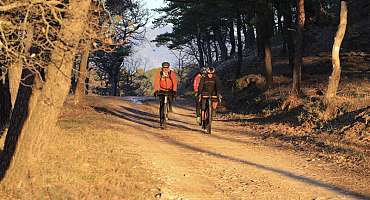
Itinéraire Gravel n°27 - Les villages perchés - EN
This charming itinerary will have you pedaling through vineyards and undergrowth to discover the must-see villages of the southern Luberon!
See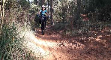
Circuit VTT n°60 - Les Claparèdes
This varied route takes part of the “All Ride” hike now a must-see mountain bike event in the Luberon (1st weekend of the Toussaint holidays, mid-October).
See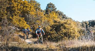
Circuit VTT n°59 - Les Balcons de l'Aiguebrun
A mountain bike ride in the shape of a large 8, to travel from 8 years and up to 88 years old, on an 8-speed mountain bike! An idea of a course for young and old in the heart of the Luberon!
See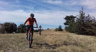
Circuit VTT n°58 - Crêtes du Grand Luberon
A physically demanding mountain bike route that could have been assigned the “very difficult” difficulty level but requires less technical baggage.
See
Autour du Luberon à vélo
A bike tour for lovers of roaming around the Luberon massif. Signposted in both directions, you travel through the landscapes and typical villages of Provence.
See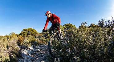
Circuit VTT n°35 - Forêt des Cèdres et Tour Philippe
A beautiful mountain bike route that takes the Grande Traversée de Vaucluse on the South and North slopes, between Lauris and Bonnieux, two emblematic villages of the territory.
See
Le Pays d'Aigues à vélo
Cycle through the wineries as well as the medieval cities located between the Luberon Massif and the Durance to discover all the heritage of South Luberon.
See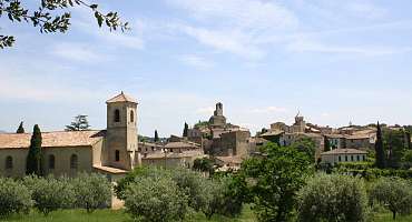
Parcours n°25 - Lourmarin
Privileged route between the mythical villages of South Luberon. Bike ride, for a better visit to Provence and the Pays d'Aigues. Ideal activity for your holiday.
See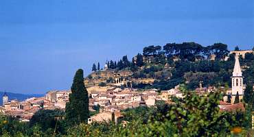
Parcours n°26 - Mérindol
A bike ride around the Durance Valley at the foot of the Luberon and accessible to everyon. especially through the villages of Mérindol and Lauris.
See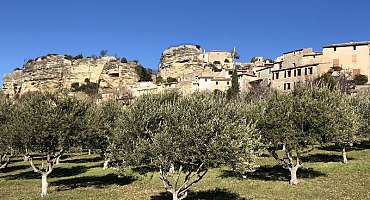
Parcours n°7 - Apt
This bike loop from Apt allows a crossing of villages with secret paths at the hinged between the small and the big Luberon. A treat!
SeeContact & informations
Bee's Stations - Electric Bike Rental in Lourmarin
Route d'Apt
Le Jardin des fleurs
84160 Lourmarin
Call us
Write us
Visit our website
Add to favorites
Discover our free and easy to access tool to create your bike route in just a few clicks!
Create your bike route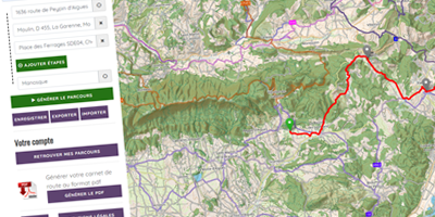


Order your free brochure
Discover our editions of the Luberon south side to prepare your weekend and holidays: guide, accommodation, hiking...
Order