Domaine des Peyre
Come and taste the wines, discover an art journey between vineyards and olive trees, or take part in the evenings aperitif jazz tapas in this superb wine estate!


The estate taken over by Patricia Alexandre (former director of Gault Millau) and Georges Antoun (hotel group New Hotel) is now in full renewal after a complete restructuring of the vineyard and the creation of high-level technical facilities.
We produce wines in AOP Ventoux and AOP Luberon on a very beautiful terroir. With a work of the vineyard 'ecofriendly', labeled HVE (high environmental value) the estate is planted with the great grape varieties of the Rhone Valley, a place of grape cultivation for 3000 years, the estate houses a magnificent 9th century chapel and recent archaeological excavations have allowed to discover many remains of Roman villas.
The Caveau is open all year round : free wine tasting for individuals, visits, wine purchases at the property, and many entertainment are available.
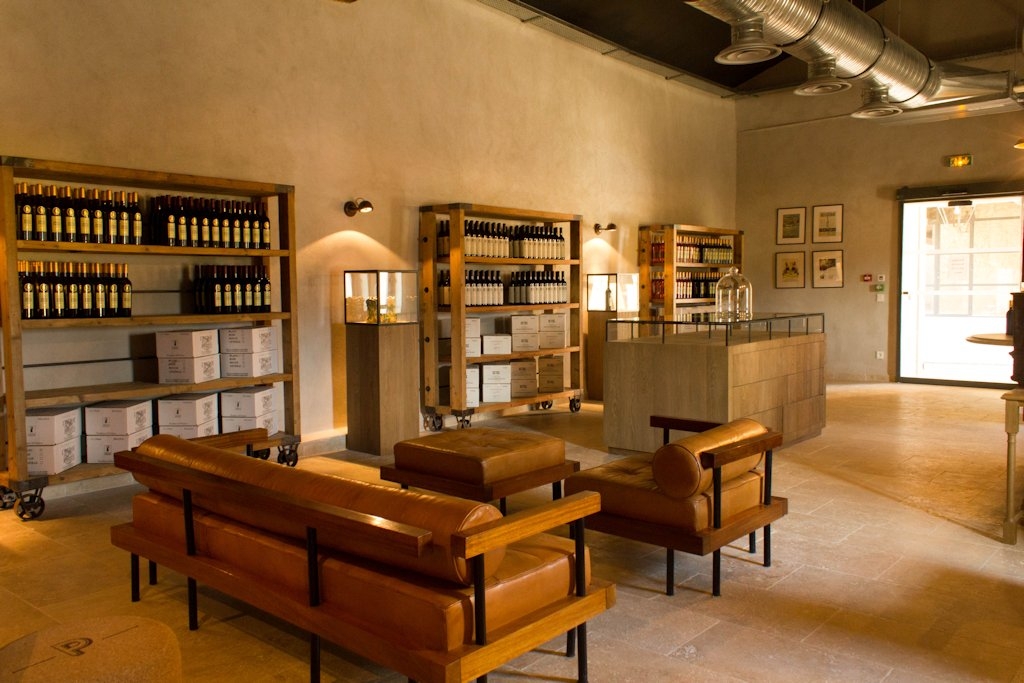
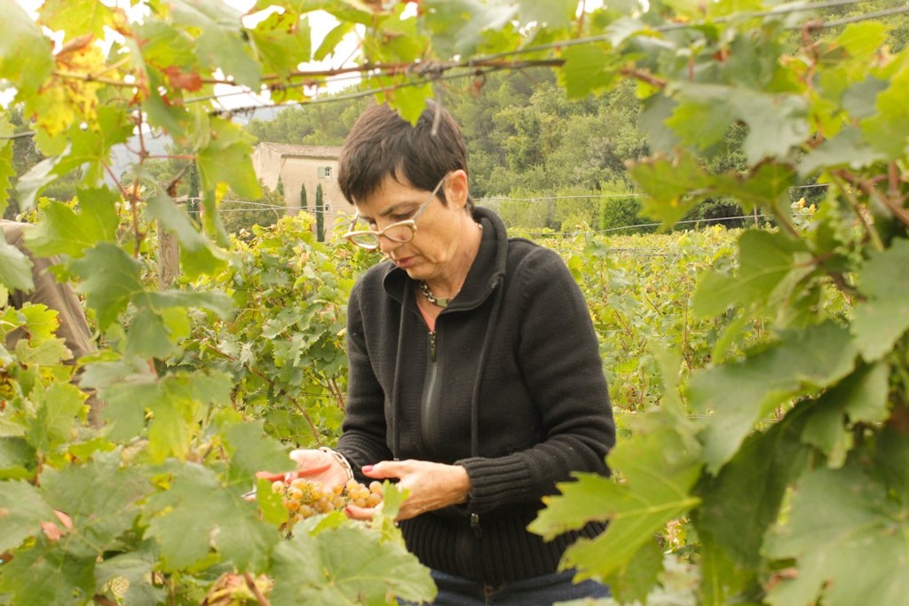
Picture gallery


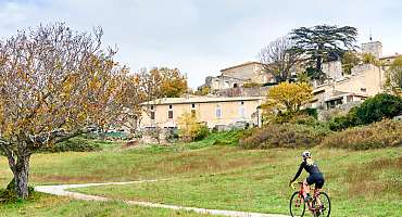
GTV VTT Etape 5 - De Saint-Saturnin-les-Apt à Fontaine-de-Vaucluse
From Saint-Saturnin-lès-Apt, you quickly reach by mountain bike trails, between vineyards and orchards, the bucolic Combe de Font Jouval. A treat!
See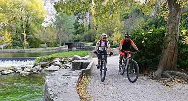
GTV VTT Etape 6 - De Fontaine-de-Vaucluse à Mérindol
This small stretch, connecting to the Petit Luberon massif, is however not devoid of interest, with a varied and bucolic route.
See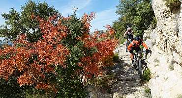
GTV VTT Etape 9 - De Lauris à Mérindol
The route enters the flanked sides of the south face of the Petit Luberon and rises sharply to the majestic panorama of Portalas and the mysterious Cedars Forest.
See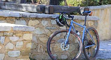
Itinéraire Gravel n°15 - Mur de la peste - EN
Discover the villages of the Luberon! On this itinerary, you'll see the Mur de la Peste (Plague Wall), a rampart built to protect the Comtat Venaissin from the plague! 27 km long, it was built of dry stone!
See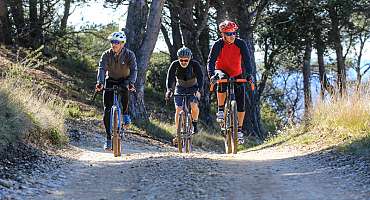
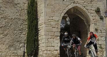
Itinéraire Gravel n°23 - Le petit Luberon côté nord - EN
Discover the hilltop villages of the Luberon! This loop, rich in historical and natural heritage, is full of surprises.
See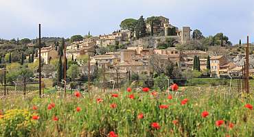
Itinéraire Gravel n°16 - De Pierre et d'Ocre - EN
Gravel route n°16 - de Pierre et d'Ocre is the perfect way to discover the sport of gravel riding. An easy ride awaits you from Joucas. Discover typical Luberon landscapes, between ochre and vines!
See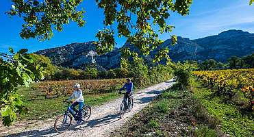
Itinéraire Gravel n°24 - Entre Durance et Coulon - EN
This itinerary is the perfect way to discover Gravel biking! Between cycle paths and quiet roads, discover villages of undeniable charm.
See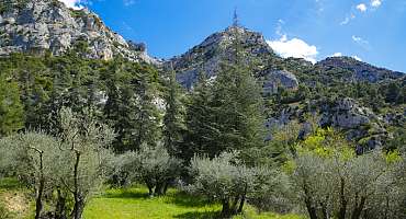
Itinéraire Gravel n°26 - Le petit Luberon côté sud - EN
This rather sporty itinerary takes you through the Petit Luberon on a variety of paths and tracks. You'll pass through the soothing Cedar Forest. Beautiful panoramas await you on this route!
See
Autour du Luberon à vélo
A bike tour for lovers of roaming around the Luberon massif. Signposted in both directions, you travel through the landscapes and typical villages of Provence.
See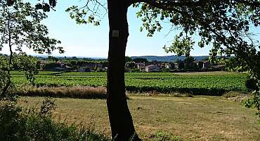
Circuit VTT n°40 - Ubac du Petit Luberon
A nice mountain bike circuit that knits between vineyards, olive trees, orchards, undergrowth, washhouses, farmhouses... and that connects two of the most beautiful hilltop villages of the Petit Luberon.
See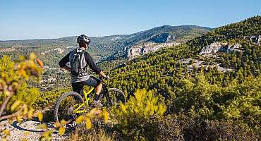
Circuit VTT n°41 - Tête du Soldat
Small but very nice mountain bike tour, very typical of the Monts-de-Vaucluse, with its winding, stony and playful trails, a heritage built in dry stone ubiquitous.
See
La Méditerranée à vélo en Luberon : Cavaillon - Apt
Between Cavaillon and Apt, this stretch of La Méditerranée by bike (EV8) mostly takes the Calavon greenway for a stage accessible to all.
See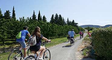
Liaison L'Isle sur la Sorgue - Lagnes - Robion à vélo
Connect by bike the Pays des Sorgues - Monts de Vaucluse to the Luberon Regional Natural Park by cycling through the plains and orchards irrigated by the Sorgue.
See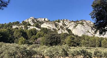
Parcours n°1 - Cavaillon
Travel the heights of the little Luberon and discover the landscapes of the Durance Valley to the South or the hill of Saint-Jacques overlooking Cavaillon.
See
Parcours n°2 - Cavaillon
A bike ride from Cavaillon crossing picturesque and surprising villages in the sublime landscapes of the Luberon and Vaucluse.
See
Parcours n°3 - Cavaillon
Take this bike route to discover the different landscapes present between the Luberon and the Monts de Vaucluse with a stop by Fontaine-de-Vaucluse.
See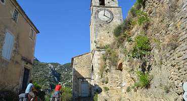
Parcours n°4 - Maubec
Escape to the Pays des Sorgues for a bike ride to discover the Vaucluse and the Canal de Carpentras that sculpts the landscape between orchards and vegetable crops.
See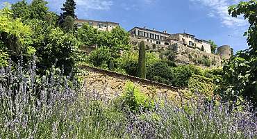
Parcours n°5 - Ménerbes
Between Luberon and Monts de Vaucluse, here is a bike circuit that takes you between the hilltop villages and the agricultural plains bordering the Calavon.
SeeContact & informations
Domaine des Peyre
1620 route d'Avignon
84440 Robion
Call us
Write us
Visit our website
Add to favorites
Discover our free and easy to access tool to create your bike route in just a few clicks!
Create your bike route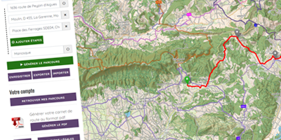


Order your free brochure
Discover our editions of the Luberon south side to prepare your weekend and holidays: guide, accommodation, hiking...
Order