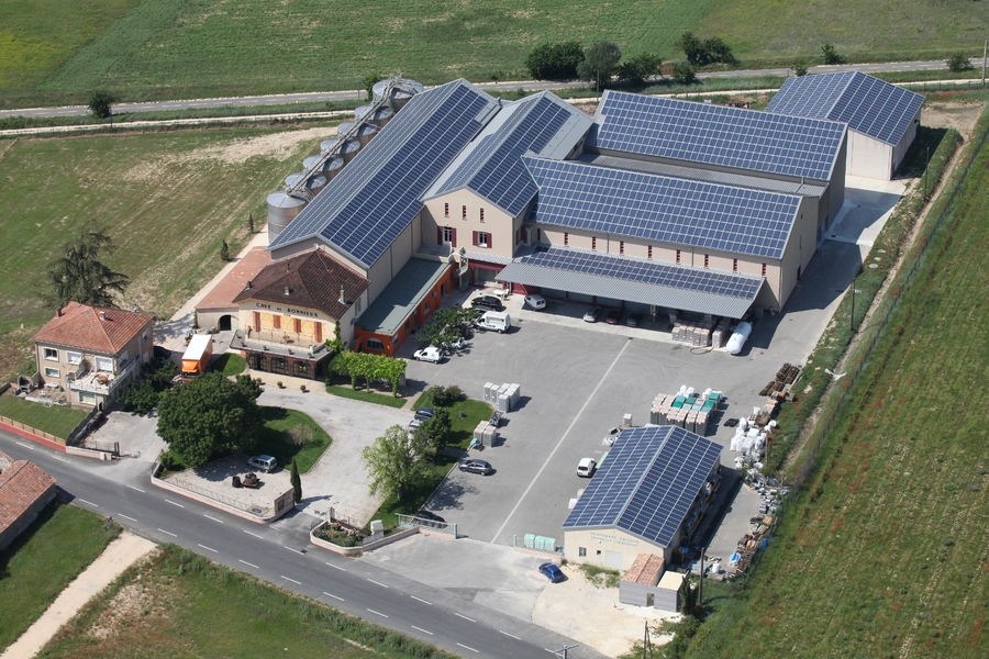
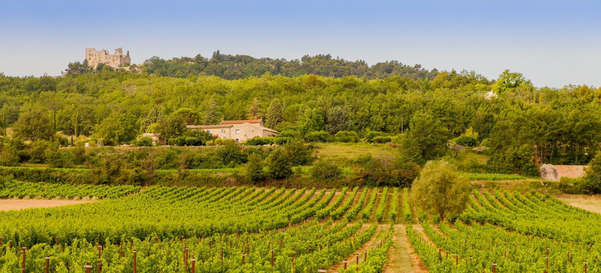
Bonnieux Wine Cellar
In Bonnieux in the Parc du Luberon, she has been the dean of the Vaucluse cooperative wineries since 1920. Discover the passion of its winemakers and PDO & PGI quality wines.


It is with the passion of its winegrowers that for 100 years the dean of vaucluse cooperatives has been offering you the best of the Provençal terroir. Thanks to its unique location in the heart of the Luberon Regional Natural Park, the winery of Bonnieux has the particularity of being able to offer you exceptional wines with 2 protected designations of origin: “A.O.P Luberon”, “A.O.P Ventoux”. The privileged location of the vineyards makes it possible to benefit from varied conditions both in terms of soil and exhibitions.
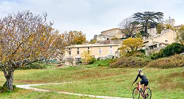
Labeled “Accueil Vélo” and located 100 m from the Calavon Véloroute, you will find all the services that meet your cyclist needs: repair kit, parking lot, drinking water point, sanitary...
Good tasting!
Picture gallery


Itinéraire Gravel n°18 - Entre ocres, vignes et garrigues - EN
Would you like to discover gravel riding? Set off on the Entre Ocres, Vignes et Garrigues route. A 40km loop to be completed at your own pace and without difficulty! Starting from Apt, you'll wind your way through the splendid villages of the Luberon!
See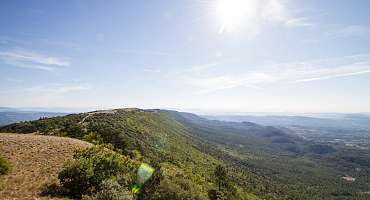
GTV VTT Etape 8 - De Vitrolles-en-Luberon à Lauris
Around the Mourre Nègre, the highest point of the Luberon PNR, this stretch is a treat for those who will have the physics and the technique to appreciate it.
See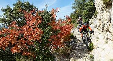
GTV VTT Etape 9 - De Lauris à Mérindol
The route enters the flanked sides of the south face of the Petit Luberon and rises sharply to the majestic panorama of Portalas and the mysterious Cedars Forest.
See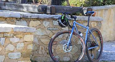
Itinéraire Gravel n°15 - Mur de la peste - EN
Discover the villages of the Luberon! On this itinerary, you'll see the Mur de la Peste (Plague Wall), a rampart built to protect the Comtat Venaissin from the plague! 27 km long, it was built of dry stone!
See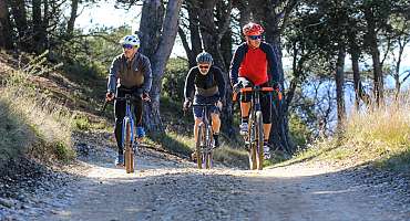
Itinéraire Gravel n°23 - Le petit Luberon côté nord - EN
Discover the hilltop villages of the Luberon! This loop, rich in historical and natural heritage, is full of surprises.
See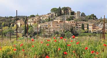
Itinéraire Gravel n°16 - De Pierre et d'Ocre - EN
Gravel route n°16 - de Pierre et d'Ocre is the perfect way to discover the sport of gravel riding. An easy ride awaits you from Joucas. Discover typical Luberon landscapes, between ochre and vines!
See
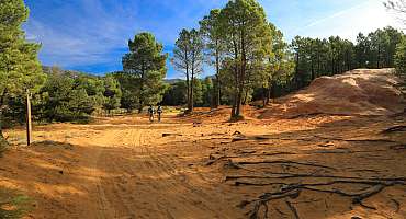
Itinéraire Gravel n°19 - Les Ocres du Luberon - EN
Between thrills and views, saddle up for the "Les Ocres du Luberon" gravel route! It's THE ideal route for gravel enthusiasts!
See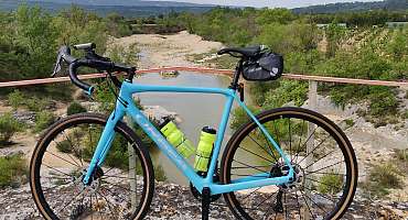
Itinéraire Gravel n°21 - Entre Calavon et Aiguebrun - EN
A mix of greenway and gravel itinerary, this route takes you to some surprising places, from Luberon villages to exceptional panoramas and historic sites, including the Pont Julien!
See
Itinéraire Gravel n°22 - Le plateau des Claparedes - EN
Would you like to enjoy a short gravel ride suitable for everyone? With its 31 km, the "Le plateau de Claparèdes" itinerary is ideal for enjoying the many viewpoints of the Grand Luberon mountain range or discovering its treasures.
See
Itinéraire Gravel n°26 - Le petit Luberon côté sud - EN
This rather sporty itinerary takes you through the Petit Luberon on a variety of paths and tracks. You'll pass through the soothing Cedar Forest. Beautiful panoramas await you on this route!
See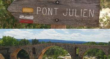
Circuit VTT n°62 - Le Pont Julien
An atypical loop, with a go well mountain bike, not always so easy, and a really quiet return on the Calavon Véloroute. An easy ride, accessible to everyone!
See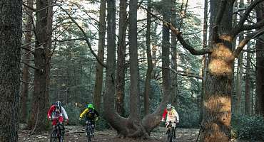
Circuit VTT n°49 - Forêt des Cèdres du Petit Luberon
Discover this mountain bike circuit in the heart of the Forest of Cedars on the heights of Bonnieux! An easy route that allows you to travel through the Massif du Petit Luberon.
See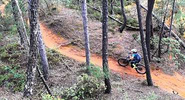
Circuit VTT n°51 - Entre ocres, vignes et forêt
A beautiful ride with a rather rolling profile where your wheels will ride grey marl of Perréal, pebbles of the Monts-de-Vaucluse and the ochreux sands of La Gardette.
See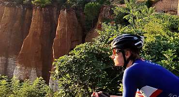
Les Ocres à vélo
Travel this Luberon route by bike through small villages and natural sites where ochre is omnipresent! The calm of the mind and the delight of the eyes.
See
Autour du Luberon à vélo
A bike tour for lovers of roaming around the Luberon massif. Signposted in both directions, you travel through the landscapes and typical villages of Provence.
See
Boucle d'Apt
A country does not exist only by the history of its soil and its nature... But also by the history of its men and of the land worked. Bike ride of the Ochres du Luberon.
See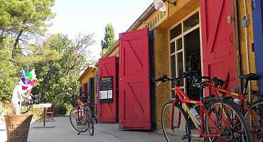
Boucle de Roussillon
During ancient times, nature gave a color to the ochous sands, before 2 centuries of human exploitation, digging underground galleries and huge quarries.
See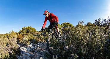
Circuit VTT n°35 - Forêt des Cèdres et Tour Philippe
A beautiful mountain bike route that takes the Grande Traversée de Vaucluse on the South and North slopes, between Lauris and Bonnieux, two emblematic villages of the territory.
See
La Méditerranée à vélo en Luberon : Cavaillon - Apt
Between Cavaillon and Apt, this stretch of La Méditerranée by bike (EV8) mostly takes the Calavon greenway for a stage accessible to all.
See
Parcours n°2 - Cavaillon
A bike ride from Cavaillon crossing picturesque and surprising villages in the sublime landscapes of the Luberon and Vaucluse.
See
Parcours n°27 - Roussillon
From the old factory of Okhra, bike route in Provence. Discover the ochres of the Luberon by traveling gently at the foot of the Vaucluse mountains, between fields and flowers.
See
Parcours n°28 - Roussillon
Bike ride from the ochres of Roussillon. Discover the village and the Calavon Valley, landscapes of cultivated land, stone village and glowing land.
See
Parcours n°5 - Ménerbes
Between Luberon and Monts de Vaucluse, here is a bike circuit that takes you between the hilltop villages and the agricultural plains bordering the Calavon.
See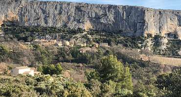
Parcours n°6 - Lioux
Bike itinerary alternating between hilltop villages of the Monts-de-Vaucluse and the Ochres. Landscapes with a palette of colors and exceptional sensations.
See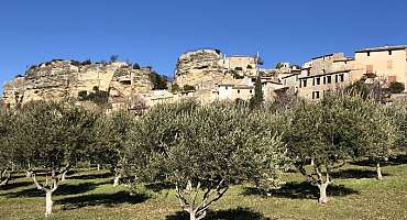
Parcours n°7 - Apt
This bike loop from Apt allows a crossing of villages with secret paths at the hinged between the small and the big Luberon. A treat!
SeeContact & informations
Bonnieux Wine Cellar
4290 Route de la Gare
84480 Bonnieux
Call us
Write us
Visit our website
Add to favorites
Discover our free and easy to access tool to create your bike route in just a few clicks!
Create your bike route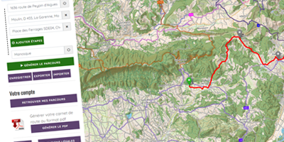


Order your free brochure
Discover our editions of the Luberon south side to prepare your weekend and holidays: guide, accommodation, hiking...
Order