

Bistrot L'Imprévu
In the centre of the Luberon, in the village of Les Beaumettes and on the Calavon bike route. Ideal for visiting Provence. Fresh and local produce.


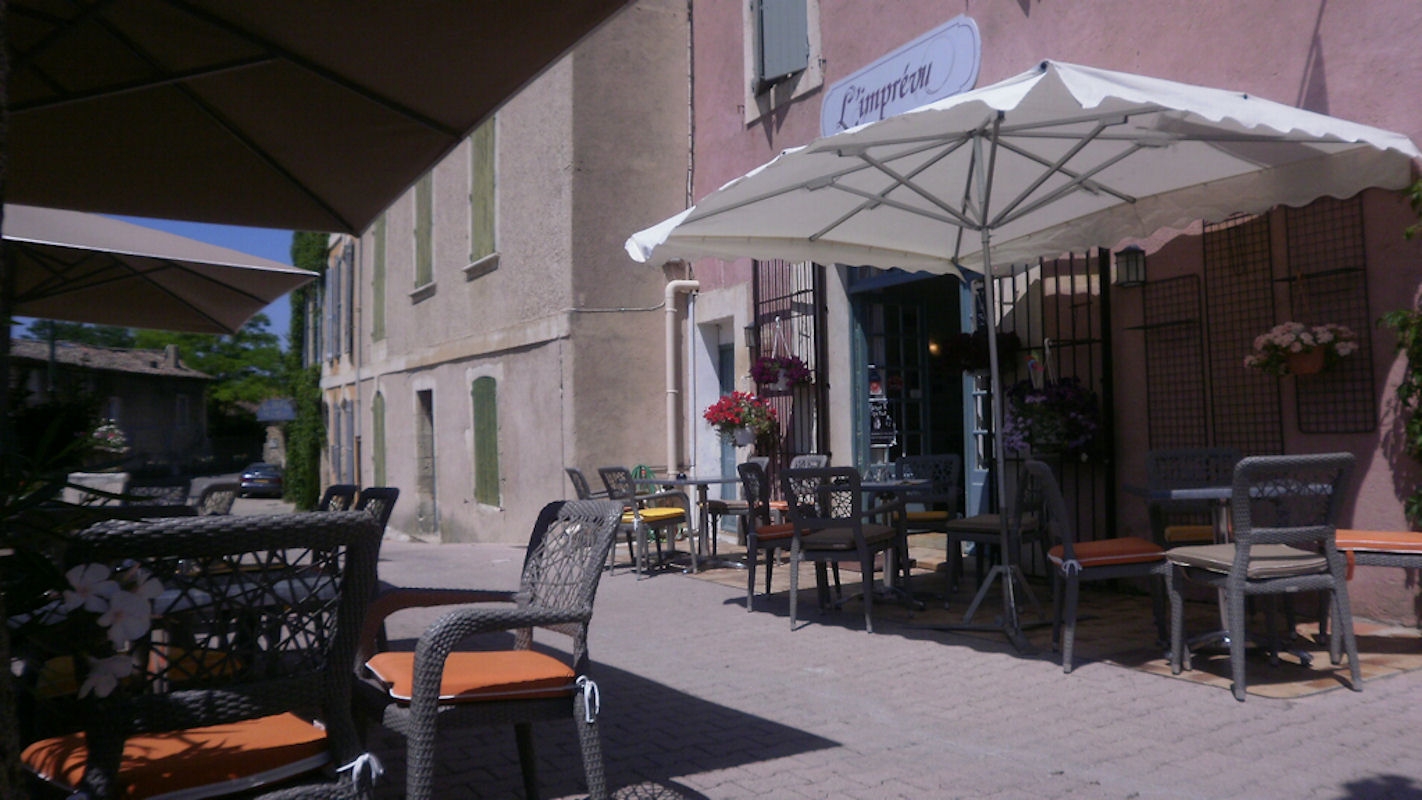
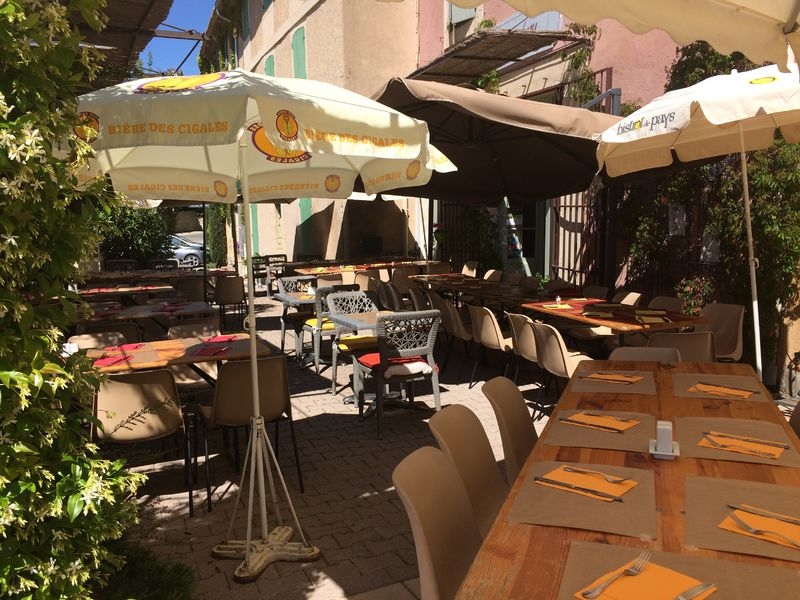
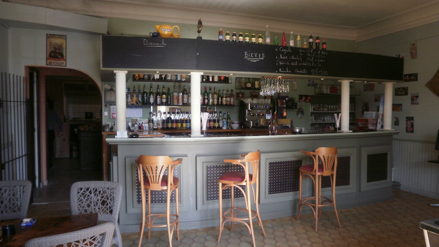
Ideally located in the heart of the village of Beaumettes on the route of the Calavon bike route, L'Imprevu offers a kitchen with fresh and local products. A pleasant terrace awaits you, also take advantage of it to explore the streets of the village and discover the beautiful cave houses.
Labeled “Accueil Vélo” you will find all the services that meet your needs as a cyclist: a bicycle parking lot, quick meal packages, a time range on services...
Picture gallery


GTV VTT Etape 5 - De Saint-Saturnin-les-Apt à Fontaine-de-Vaucluse
From Saint-Saturnin-lès-Apt, you quickly reach by mountain bike trails, between vineyards and orchards, the bucolic Combe de Font Jouval. A treat!
See
GTV VTT Etape 6 - De Fontaine-de-Vaucluse à Mérindol
This small stretch, connecting to the Petit Luberon massif, is however not devoid of interest, with a varied and bucolic route.
See
GTV VTT Etape 9 - De Lauris à Mérindol
The route enters the flanked sides of the south face of the Petit Luberon and rises sharply to the majestic panorama of Portalas and the mysterious Cedars Forest.
See
Itinéraire Gravel n°15 - Mur de la peste - EN
Discover the villages of the Luberon! On this itinerary, you'll see the Mur de la Peste (Plague Wall), a rampart built to protect the Comtat Venaissin from the plague! 27 km long, it was built of dry stone!
See
Itinéraire Gravel n°23 - Le petit Luberon côté nord - EN
Discover the hilltop villages of the Luberon! This loop, rich in historical and natural heritage, is full of surprises.
See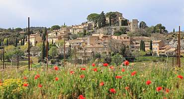
Itinéraire Gravel n°16 - De Pierre et d'Ocre - EN
Gravel route n°16 - de Pierre et d'Ocre is the perfect way to discover the sport of gravel riding. An easy ride awaits you from Joucas. Discover typical Luberon landscapes, between ochre and vines!
See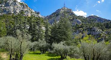
Itinéraire Gravel n°26 - Le petit Luberon côté sud - EN
This rather sporty itinerary takes you through the Petit Luberon on a variety of paths and tracks. You'll pass through the soothing Cedar Forest. Beautiful panoramas await you on this route!
See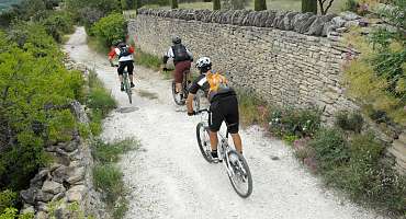
Circuit VTT n°50 - Col de Murs
Beautiful rolling mountain bike course, without great technical difficulty, but quite physically demanding with the elevation and stony character of the trails, paths and tracks.
See
Autour du Luberon à vélo
A bike tour for lovers of roaming around the Luberon massif. Signposted in both directions, you travel through the landscapes and typical villages of Provence.
See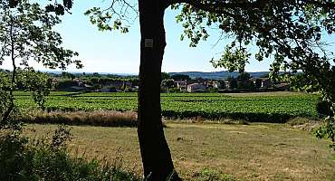
Circuit VTT n°40 - Ubac du Petit Luberon
A nice mountain bike circuit that knits between vineyards, olive trees, orchards, undergrowth, washhouses, farmhouses... and that connects two of the most beautiful hilltop villages of the Petit Luberon.
See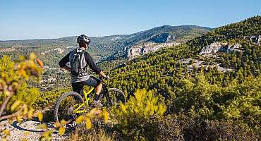
Circuit VTT n°41 - Tête du Soldat
Small but very nice mountain bike tour, very typical of the Monts-de-Vaucluse, with its winding, stony and playful trails, a heritage built in dry stone ubiquitous.
See
La Méditerranée à vélo en Luberon : Cavaillon - Apt
Between Cavaillon and Apt, this stretch of La Méditerranée by bike (EV8) mostly takes the Calavon greenway for a stage accessible to all.
See
Parcours n°2 - Cavaillon
A bike ride from Cavaillon crossing picturesque and surprising villages in the sublime landscapes of the Luberon and Vaucluse.
See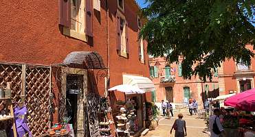
Parcours n°28 - Roussillon
Bike ride from the ochres of Roussillon. Discover the village and the Calavon Valley, landscapes of cultivated land, stone village and glowing land.
See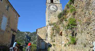
Parcours n°4 - Maubec
Escape to the Pays des Sorgues for a bike ride to discover the Vaucluse and the Canal de Carpentras that sculpts the landscape between orchards and vegetable crops.
See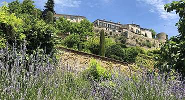
Parcours n°5 - Ménerbes
Between Luberon and Monts de Vaucluse, here is a bike circuit that takes you between the hilltop villages and the agricultural plains bordering the Calavon.
See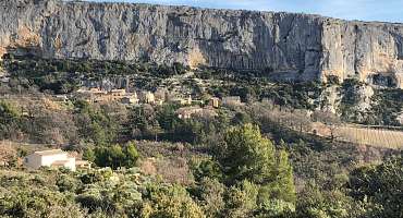
Parcours n°6 - Lioux
Bike itinerary alternating between hilltop villages of the Monts-de-Vaucluse and the Ochres. Landscapes with a palette of colors and exceptional sensations.
SeeContact & informations
Bistrot L'Imprévu
15 montée du château
84220 Beaumettes
Call us
Write us
Visit our website
Add to favorites
Discover our free and easy to access tool to create your bike route in just a few clicks!
Create your bike route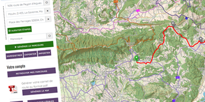


Order your free brochure
Discover our editions of the Luberon south side to prepare your weekend and holidays: guide, accommodation, hiking...
Order