Ad Montem - EN
Electrically Assisted Bike Rental All-terrain electric scooter rental Snowshoe & sled rentals Sale of bike accessories and spare parts tennis equipment Sledges for sale Outdoor accessories sales UPS parcel relay


Plus: child-carrying solutions, sale of hiking maps and guides, mountain bike topos, sale of fishing maps, bait and fishing accessories, sale of bicycles and accessories.
Picture gallery


Aiguines - EN
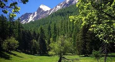
In the shade of the larches, a varied circuit on the red trail of the Ratery Nordic area. The loop is a little more challenging in some parts of the forest. See the lily, emblem of the valley. In autumn, come and listen to the bellowing of the stag.
See
Bla Magnan - EN
Gain height at Bla Magnan and discover Colmars from another angle. Cross over to the forest track overlooking the course of the Verdon and descend through the Scots pines. Return to the left bank of the Verdon.
See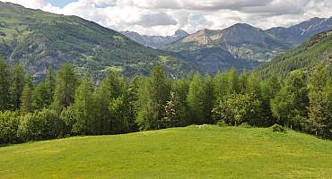
Cabane neuve - EN
Departing from the Chalet de Ratery, a Nordic center in winter, the trails run through a large larch forest, following the "La Reynière" loop to Cabane Neuve.
See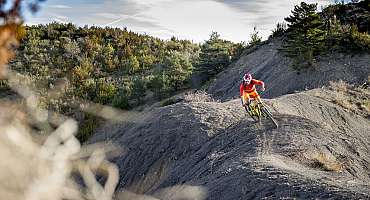
Chassette - EN
Hunting loop enhanced. Cross the hamlet, a living testimony to a mountain village that has withstood the test of time. The circuit takes in the left bank of the Chasse through the hazelnut trees, with a surprising view of the hamlet.
See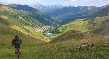
Transverdon tronçon 1 - Du Col d’Allos à Val d’Allos Le Village
The first stretch of the TransVerdon Mountain Bike Traverse route starts at the Col d'Allos in the Val d'Allos - Le Village with a superb undergrowth descent.
See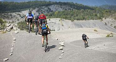
Grande Traversée VTT La TransVerdon - EN
"The TransVerdon begins at the source of the Verdon, at the Col d'Allos, 2,247 m above sea level. It's a 260 km journey between these Alpine mountains and Gréoux-les-Bains, resolutely complete and technical, punctuated by well-deserved swimming breaks.
See
La Croix du Puy - EN
From the kiosk, follow route 23 and before the huts, head for the Croix du Puy, where you'll enjoy a remarkable view of the valley and Verdon villages.
See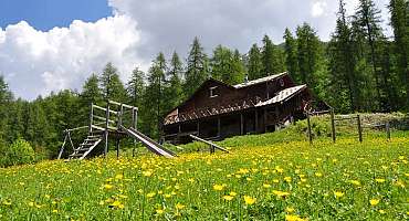
La Reynière - EN
A varied and fairly sporty route in the Ratery Nordic area. The route passes close to Cabane Vieille.
See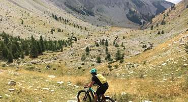
La traversée des Baussées - EN
Departing from Colmars, a picturesque fortified village, this challenging route takes you along the Col des Champs road, which winds its way to the start of the Noncière trail. Serious climbs with exceptional views over the Haut-Verdon valley.
See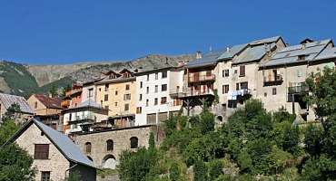
Les Balcons de Pinatelle par Villars-Heyssier - EN
From the Villars-Heyssier bridge, a long loop with beautiful panoramas on the forest track and undergrowth crossings on the left bank of the Verdon.
See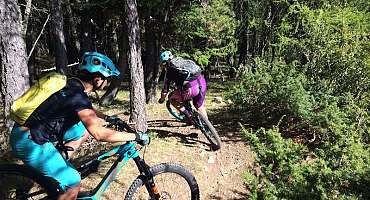
Les Balcons de Pinatelle par Colmars - EN
From Colmars, you can enhance route no. 12 by heading for the hamlet of Villars-Heyssier, the start of a remarkable hike in the Gorges de St Pierre, on foot only.
See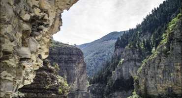
Ondres - EN
From the Villars-Heyssier bridge, a magnificent circuit along the mountainside towards the Plan de Beauvezer and the hamlet of Ondres. Return with a beautiful panorama of the Verdon.
See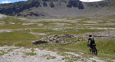
TransVerdon Tronçon 3 - De Colmars-les-Alpes aux Lacs de Lignin
Things become serious with this stage from the Verdon Valley to the Lignin Lakes Plateau. Beautiful landscapes that are worth it, but the show is worth the effort!
SeeContact & informations
Ad Montem - EN
L'Échauguette
RD 908
04370 Colmars
Call us
Write us
Visit our website
Add to favorites
Discover our free and easy to access tool to create your bike route in just a few clicks!
Create your bike route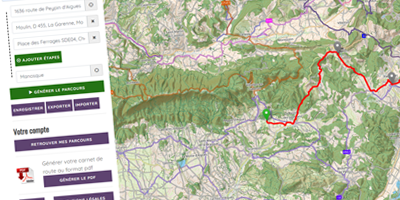


Order your free brochure
Discover our editions of the Luberon south side to prepare your weekend and holidays: guide, accommodation, hiking...
Order